Miles Today: 60.76
Average Speed: 8.5mph
Total Miles: 3,587.9
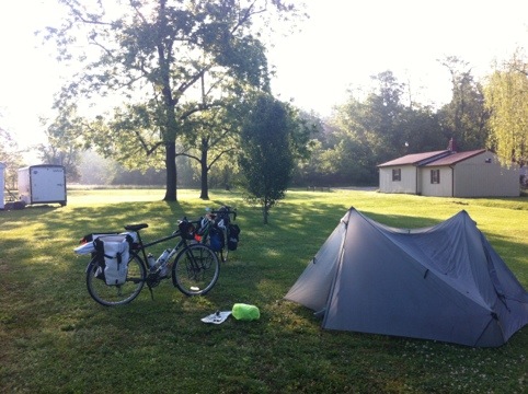
We woke up to a soggy tent, per usual, but the sun was shining so we decided to let it all sunbathe while we had breakfast.
Walking into Gertie’s, we were pleasantly surprised to see the actual Gertie herself. A wonderful woman who did a stint in Philadelphia, she and Evan had a good chat about Philly life, and Evan got scrapple (an Amish food traditional to Pennsylvania) out of it. Gertie even remembered Jesse (he and I stayed in touch after meeting in Eureka, NV last fall), a Jenkintown, PA native, who passed through her store last fall on his bike trip.
Once we were finally packed up, we rolled around from behind the shop to find cyclists pulling in. 
Steve, Matt, David and Carlos are out on a week-long loop beginning and ending in Richmond, VA. They were the cyclists we had passed at the campground outside Vesuvius the night before, and they informed us that we were better off having taken the camping behind Gertie’s, as a dog had kept them up all night, and it didn’t end up being a very pleasant place at all.
We told them that we were about to head up toward the Blue Ridge Parkway, and they informed us that our route had “an average grade of 7%” and wished us luck. 7%? I don’t need luck for that!
Well, it turns out we needed all of the well-wishing we could get, because you can get an average of 7% by combining stretches of 22% with stretches of 4%. We were none the wiser at that point, and the four of them were about to attempt an alternate route, so everybody was excited–them for breakfast and adventure, and us for a constant 7% grade. They snapped our picture, and off we went.

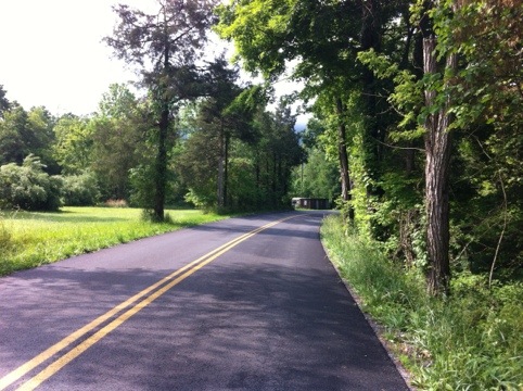
Leaving Vesuvius, we enjoyed a flat ride through the tree-shaded town.
I had a nice look straight down the railroad, which has always fascinated me.
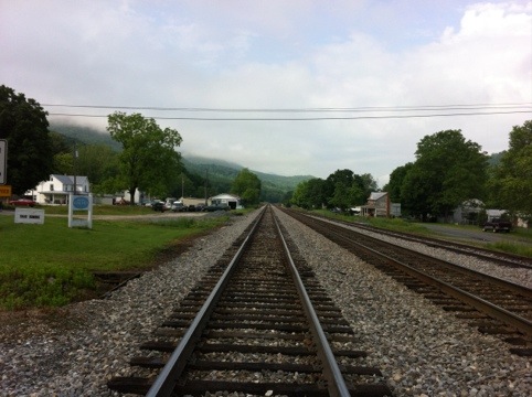
Then we received an omen. A sign, just before we turned onto the road that would take us up to the parkway, a sign. “Baah Humbug”.

Soon we were taken upward, but no 7% grade awaited us. Instead, we spent the next two hours attempting to be optimistic while cranking our guts out on steep grades. Luckily, there were things to distract and entertain us, like the fog in the mountains.
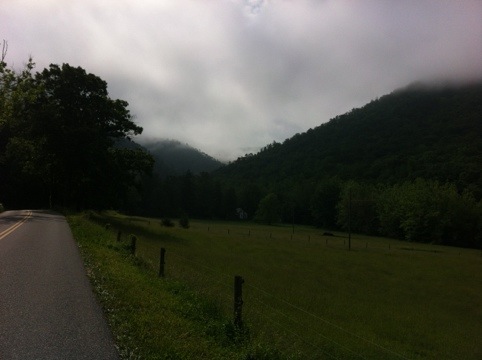
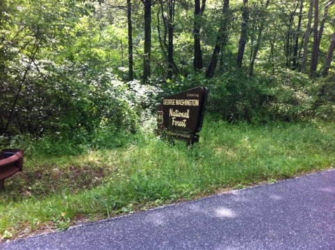
We entered the George Washington national forest, which was proving to be quite lovely despite its steepness.
Then I slammed on the brakes for this lizard, which apparently caught Evan by surprise. Luckily, he stopped in time to not run into me. 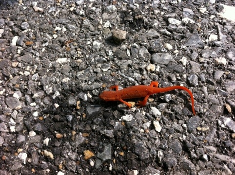
Anybody have an idea what kind of lizard this is? It was bright red with light spots, and seemed very lethargic. I touched it, and it didn’t want to move more than an inch at a time.
We could tell we were getting closer to the top of our climb as more ridges came into sight that were almost the same height as where we were.
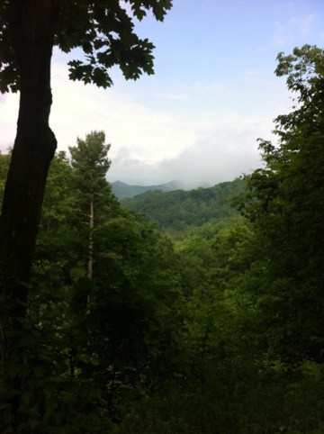
After almost two hours of very hard work, we finally made it!
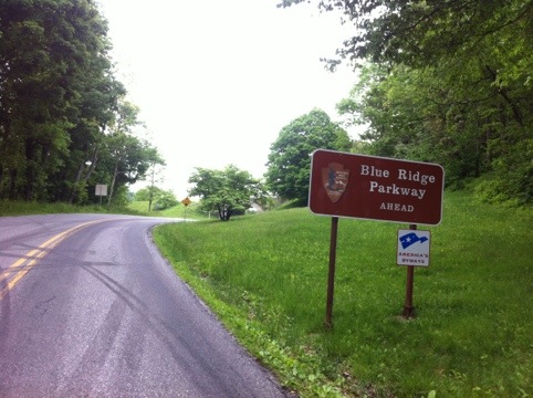
It was an exciting moment, to be on top of the Appalachians. The Blue Ridge Parkway is 469 miles long and runs along the ‘backbone’ of the Appalachian mountains. This means that we had views on both sides of the road at times!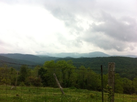
Also exciting was the fact that no commercial vehicles are allowed on the parkway, which means no hurried FedEx drivers, no big box trucks, and no semis.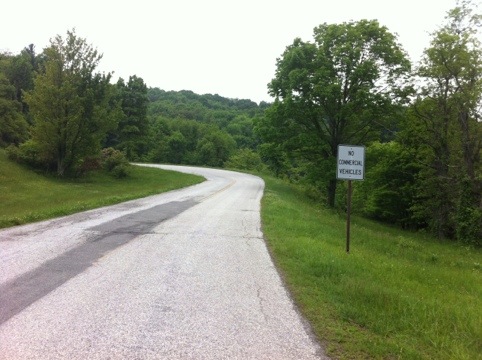
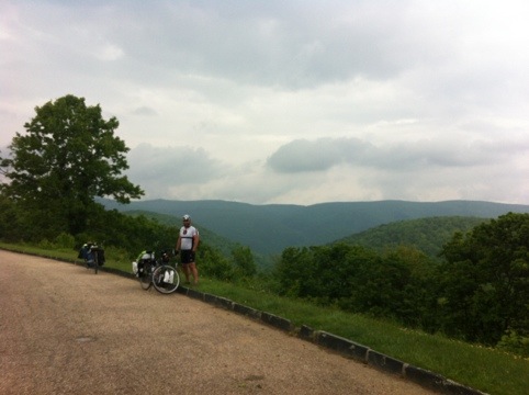
All morning, we had beautiful scenery, and the photo ops abounded.
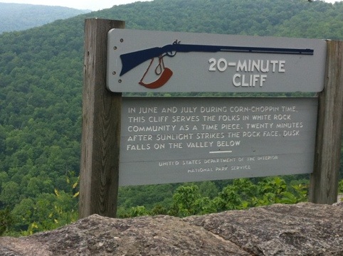
The Parkway was also dotted with historical markers and information, like this fascinating tidbit about telling time without a watch.
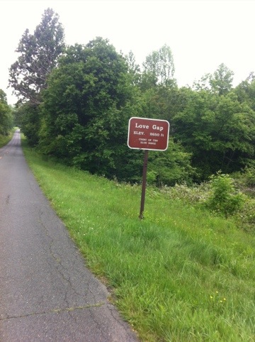
Because we were on top of the mountain range, we went up and down peaks, in and out of gaps. We passed an exit for the town of Love, and then went into Love Gap. Lovely.
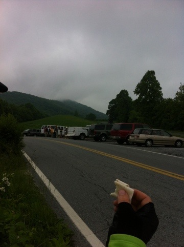
When we dropped into another gap, Reed’s Gap, we decided to stop for lunch. A group of people was standing nearby with packs and pick axes, receiving what we assumed to be a lesson in trailblazing. Behind them, a storm appeared to be brewing above a mountaintop.
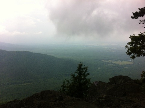
We rode on, keeping an eye on the clouds, and watching the fog start to drop in.
There is no photographic documentation of the next hour, because within that time frame, we were completely dumped on. The rain poured down, and we got soaked. Since my camera is also my phone, I decided it best to keep it dry.
After the rain finally subsided, we were completely enveloped in fog.
We were a bit nervous as we reached the descent at the other end of our 27 miles on the Parkway, because we weren’t in our raincoats when the rain came, and our wind-resistant jackets were, as a result, soaked.
Fortunately, we soon found out that our jackets were wind-resistant, even when wet. That’s what I call technology!
Soon, the fog lifted a bit, and we had our spectacular views back.
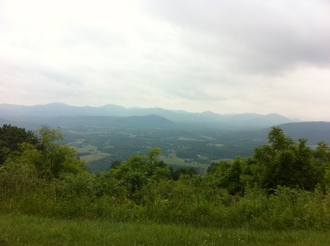
Unfortunately, we blasted through the tiny town of Afton, home to the Cookie Lady and her TransAm memorabilia museum–an institution in the world of the cross-country cyclist. The town was on a downhill, we were quite wet, and we were cutting it pretty close in terms of timing for the day.
A bit further down the road, the sun had come back and we were getting sweaty. It’s amazing to see the weather changes that can occur in a day near the mountains. We saw an orchard, and then got excited when we saw they had a shop!
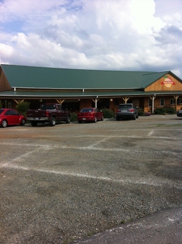
The orchard had strawberries, peaches, and apples, pies and jellies, doughnuts and cider, but the jellies were pricy, the peaches were hard, and strawberries are quick to get smooshed, so we settled for some strawberry cider doughnuts, peach cider, and some apples. A delicious snack, and a much-needed shade break.
We enjoyed an afternoon of rolling hills, and breathed repeated sighs of relief at finally being east of the Appalachians.
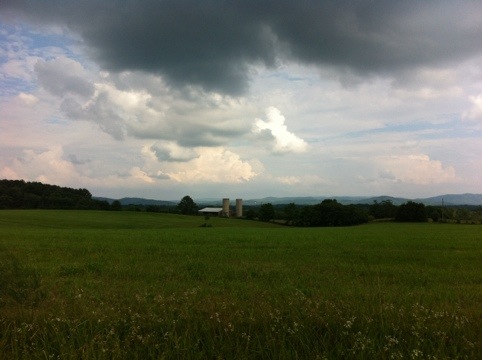
And as we started to get weary, we finally saw the signs for Charlottesville.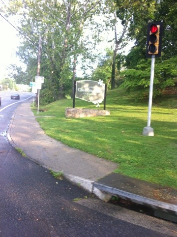
Our Warmshowers host for the night, Stephen, was out on an errand and wouldn’t be back for a bit, so we settled in at the Mudhouse, a coffee shop on the pedestrian mall, and enjoyed $9.00 worth of chocolate milk.
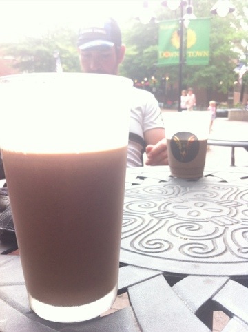
In case you were unable to do the math on that price and the two pint glasses of chocolate milk, that’s just over $4.00 for 16 ounces of milk, plus a tip for the barista who poured it from the jug.
We were a bit taken aback, but it was pretty good. Oh, well. We get enough cheap chocolate milk… Gotta splurge sometimes, right?
We made our way to Stephen’s house, where we were greeted by the downstairs neighbors. They became our saving grace for the day–we were staring incredulously at the super-steep 20 concrete steps separating us from the front porch of the house–when they informed us that the alley would take us to a back door with any stairs.
Around the back we went, and then we met Stephen, who showed us a shed where we could put our bikes, and then brought us upstairs, where we showered, chatted, and relaxed. I even got Stephen’s very timid dog, Bean, to sit still for a petting session!

This was a wonderful end to our day, and we are so excited to be east of the mountains–it’s all flat to rolling from here!

That “lizard” is actually a Red Spotted Newt which is related to salamanders. Thy are amphibians not reptiles. They are unusual to see as they generally keep to moist hidden places like the undersides of rotting logs etc. So you were fortunate to see one, a good omen I should think.